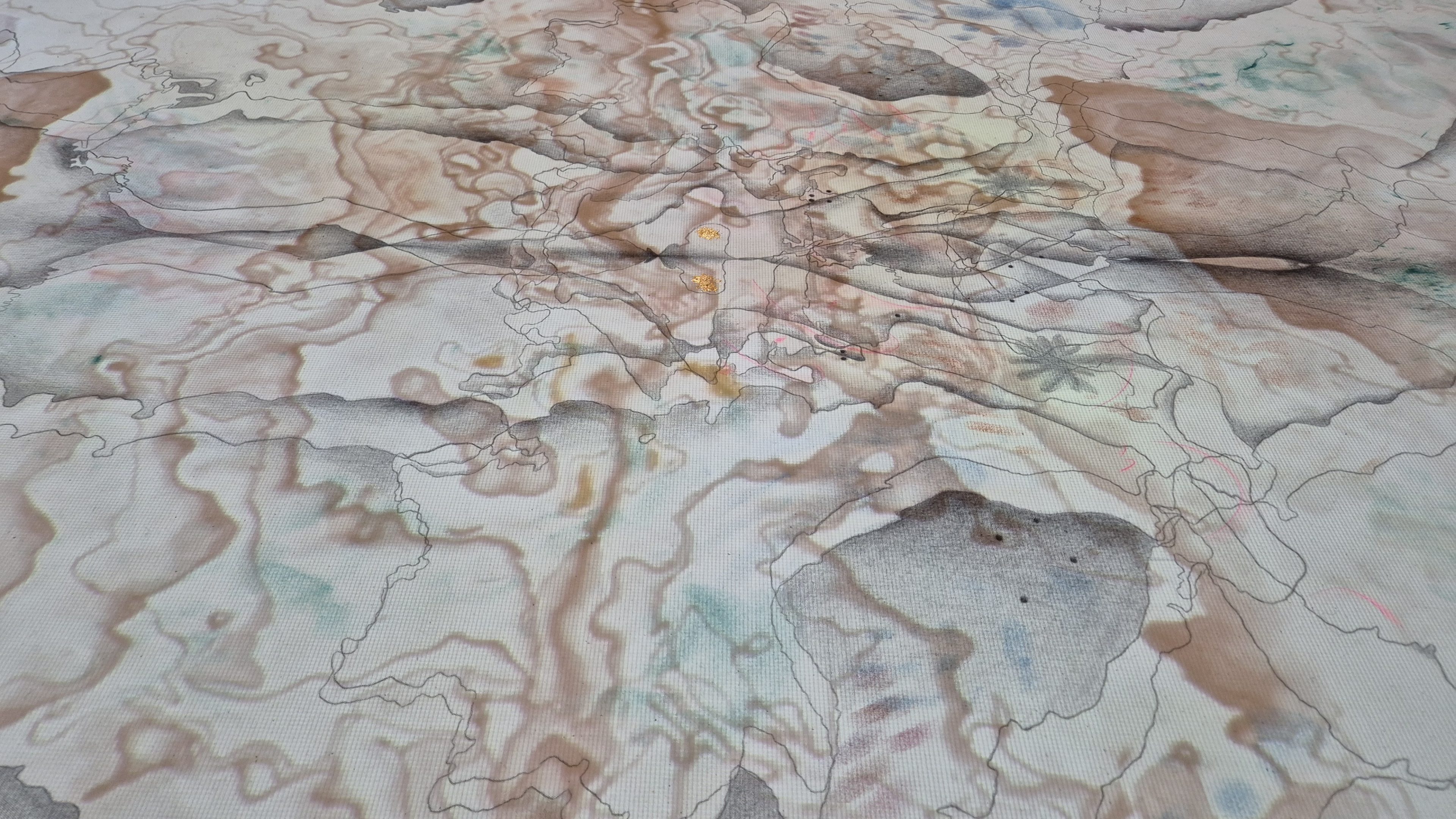
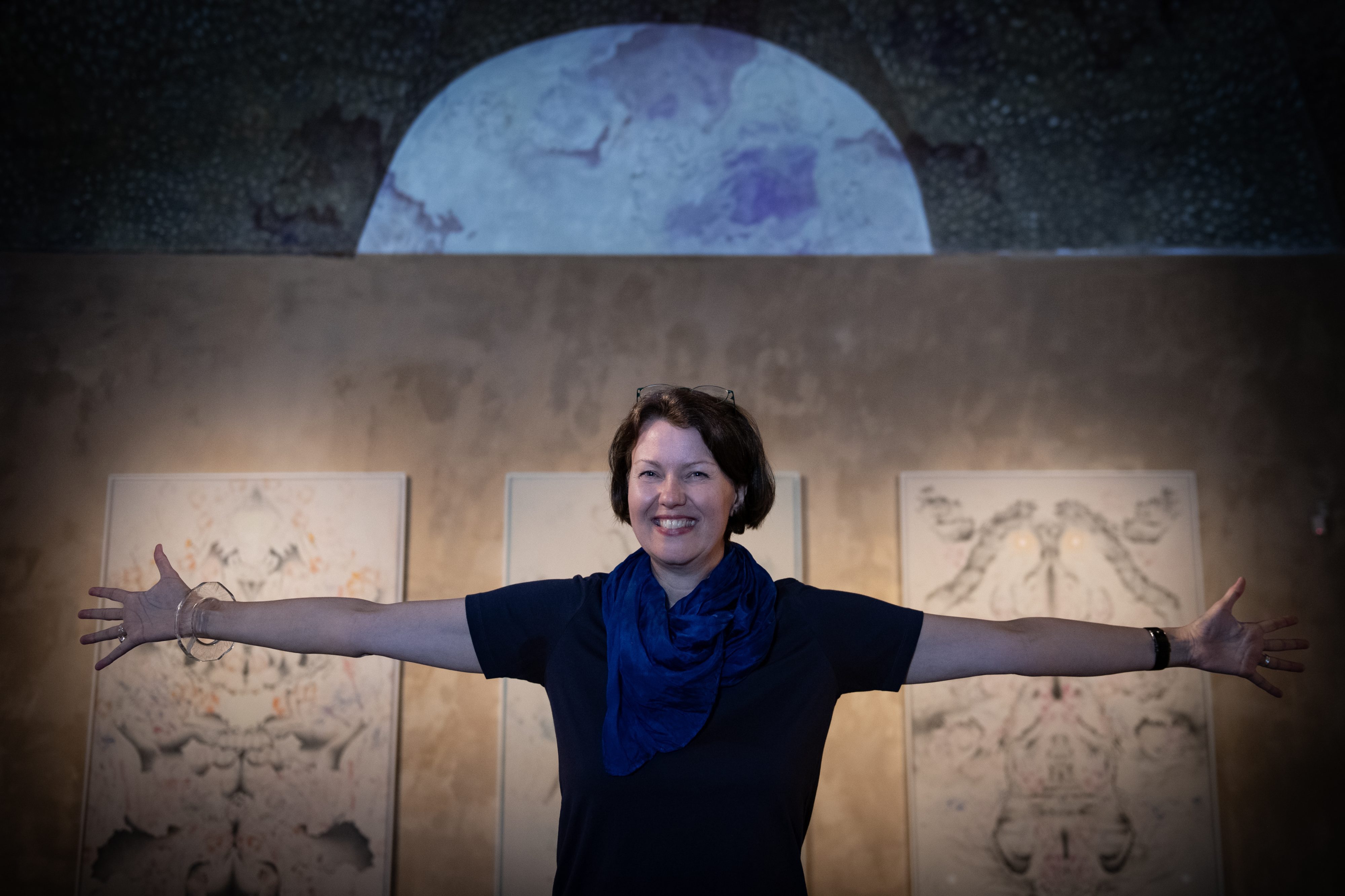
Jana Kasalová reads maps like literature. For nearly three decades, she has repeatedly and concentratedly explored their possible interpretation and various approaches to uncovering messages hidden in cartography capable of being translated into the language of art. Her works reflect the longtime professionally codified practice of exploring the places where we live, places that possess various traces of spiritual, social and historical events, which inspire her own personal version of travelling by ‘passing one’s finger along a map’ – her own measuring and recording of stories of the cultural landscape. The most recent outcome of these deep explorations of maps and atlases, another example of her subjective cartography, is her portraits of landscapes and countries that she calls Geoanatomies.
Kasalová’s work is founded on a dialogue with space – both real and cartographically depicted. She studies maps, separates their layers, enters them and arranges them anew, as if learning them by heart, walking through history, wandering isolines and following borderlines and the flows of rivers while listening to what the landscape has to say. For Kasalová, the Geoanatomies represent a way of grasping a territory from a highly personal perspective, a way of capturing it as a living organism. Seen through her eyes and heart, the landscape is transformed into a pulsating being – a person, animal or spectre, a body whose life rhythm is inscribed into the trembling layers and textures of drawn lines and webs of lines. She imbues them with emotions, relationships and ideas that defy any cartographic records even though they originate from them. “I arrange maps intuitively, as mirror images, thus creating a symmetrical image resembling a Rorschach test. I, too, test what the viewer sees, which is different every time. Just as with the psychological test, it can be a brain, a cloud, a reproductive organ… Experimentation with scale is an important part of the entire process,” she says about how her works are created and what kinds of works she makes. Her Geoanatomies are not just based on the scale of maps but also on the canon of the human figure, and so their height (200 cm) is derived from the height of the human figure.
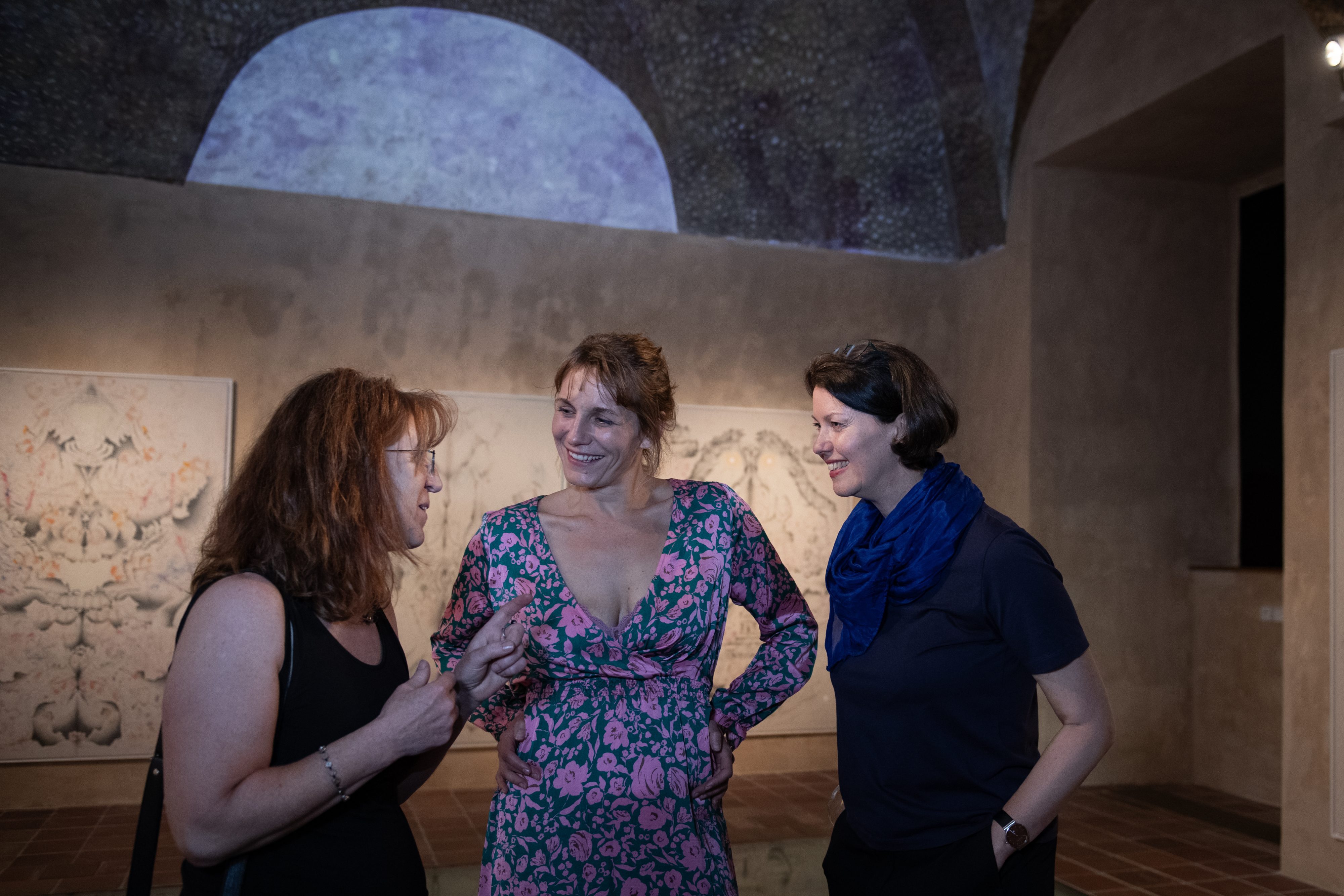
The unambiguous nature of the boundary lines in her portraits of territories and states disappears as the contours multiply, overlap, are turned around and grow denser. She sketches them in pencil and pastel, uses gold and phosphorus that glows in the dark, and combines the pursuit of linear precision with a freehand touch and colour accents. In a magical fusion with movement, with projection and animation, her Geoanatomies truly come to life. She seems to be shifting the earth’s plates in order to discover forgotten continents between them, inhabited by ancient peoples who gaze at us, move and multiply, with branching lines that resemble schemata of the circulatory or nervous system, symmetrical colour accents that evoke functioning organs. They address us from an unknown territory between geography and anatomy, between the real and the imaginary. The map as a starting point is transformed and becomes a body, a portrait and a landscape whose borders are turned into beings and stories. The fluid space of works animated by projection evokes a primal chaos that has yet to give rise to order, boundaries and rules. An imaginary traveller following the artist has no choice but to use their intuition and imagination instead of a compass, and to rely on the power of association and emotion.
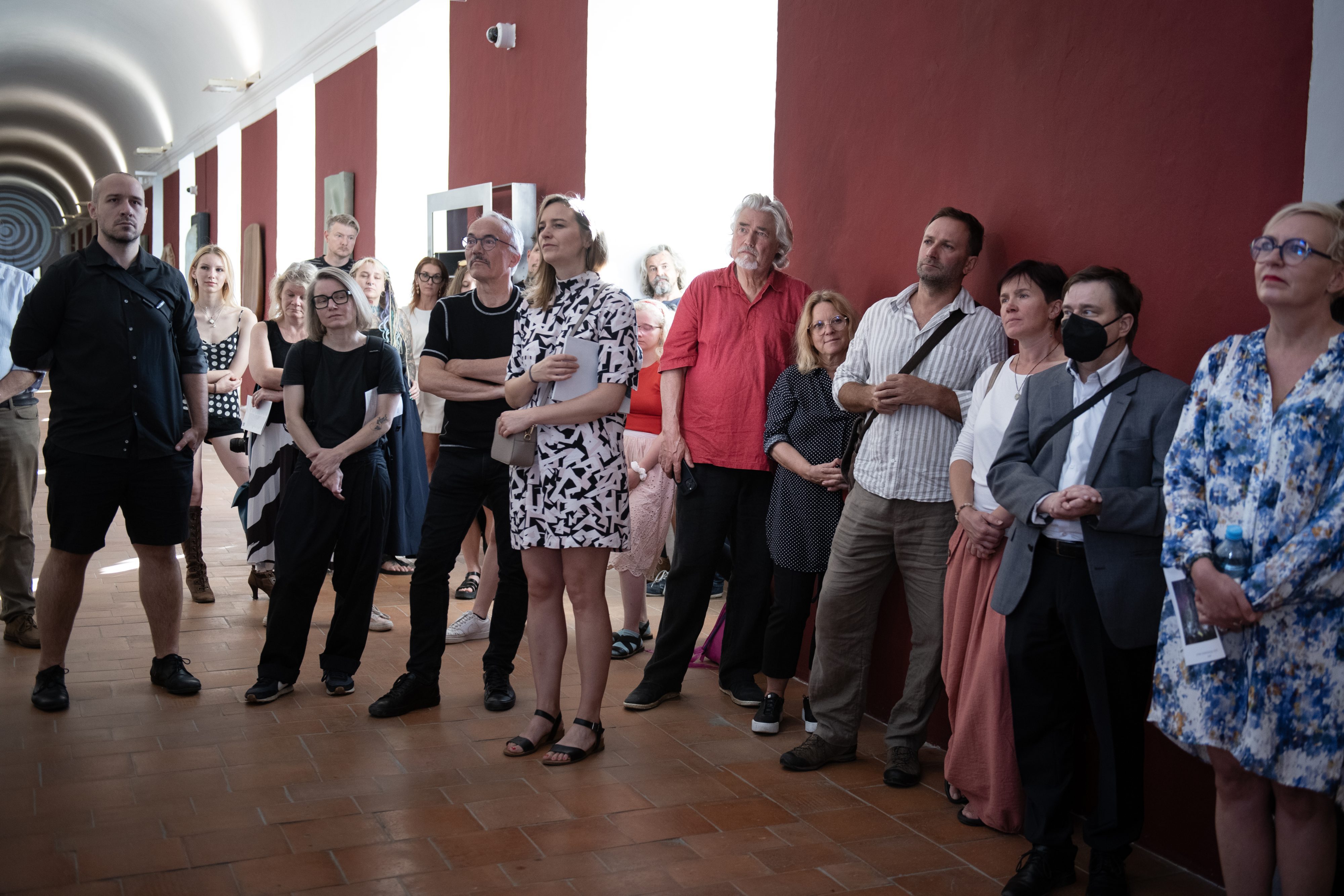
Multimedia artist Jana Kasalová (1974) creates works on paper, drawings, performances and video art. Key themes in her work include the memory of the European cultural space across time (maps and landscapes in cartographic form), human and animal corporeality and the mutual interaction between the two.